Andorra’s parishes: structure, functions and territorial features
Les sept paroisses d’Andorre constituent la structure territoriale du pays, avec des fonctions propres, un autogouvernement local et des compétences clés en urbanisme, services et développement.
Reading time: 8 minutes
Understanding Andorra’s Parishes
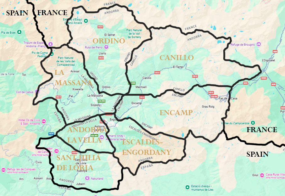
The Principality of Andorra is divided into seven parishes that form the backbone of its territorial and political organisation. These divisions, predating the modern State, remain the foundation of local self-government and are essential for understanding how the country is administered.
Historically, Andorra had six parishes, but in 1978 a seventh —Escaldes-Engordany— was created following its separation from Andorra la Vella. Today, each parish has its own Comú, responsible for areas such as the cadastre, public services, communal assets and urban development.
What is a parish? Functions and local governance
A parish is the Andorran equivalent of an expanded municipality. It is a politico-administrative entity with legal personality and broad competences within the national legal framework.
🔹 Main competences and functions
Parishes hold responsibilities in areas such as:
- urban planning, land regulation and territorial management
- direct competences in commerce and economic activity
- management of the cadastre and communal assets
- maintenance of paths, access routes and local infrastructure
- environmental competences
- management of public services, communal spaces and facilities
- cultural, tourism and sports promotion
- regulation and collection of local taxes and levies
- safety, coexistence and community competences
- social and community functions
Historically, the parish model combined civil and ecclesiastical roles, but today it operates exclusively as a civil structure.
🔹 The Comú: the governing body
Each parish is governed by its Comú, composed of:
- the Cònsol Major (Chief Councillor)
- the Cònsol Menor (Deputy Councillor)
- between 10 and 16 parish councillors, depending on the parish
These roles are elected by universal suffrage among Andorran citizens and have a 4-year mandate. The Comuns implement local competences, approve parish regulations and manage local resources.
➤ To better understand how the Government interacts with local entities and how powers are distributed, you may consult the article Andorra’s institutional system: Government, parishes and territorial competences.
The seven parishes of Andorra
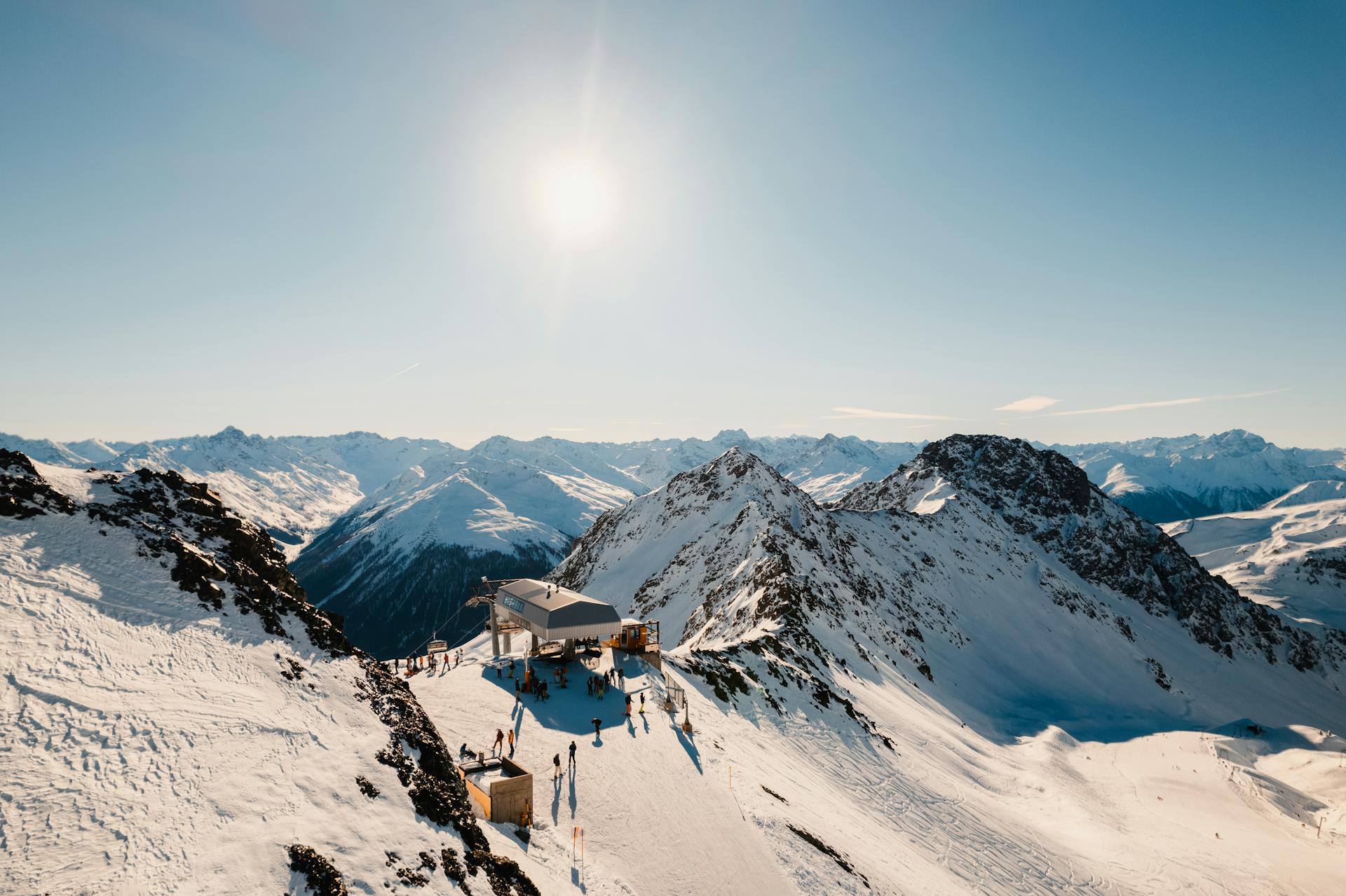
📍 Canillo – AD100
- Area: 121 km² (largest)
- Population: 5,160–5,800
- Altitude: 1,526 m
A high-mountain parish including Soldeu, El Tarter and Incles. It hosts the Sanctuary of Meritxell, the Tibetan Bridge and the Roc del Quer viewpoint.
📍 Encamp – AD200
- Area: 74 km²
- Population: 12,155–14,000
- Altitude: 1,238 m
Known for hiking and winter sports. Its main settlements are Encamp, Vila and Pas de la Casa. It features the Funicamp, providing direct access to Grandvalira.
📍 Ordino – AD300
- Area: 85–90 km²
- Population: 5,225–5,400
- Altitude: 1,298 m
Considered the most cultural and natural parish. It combines historical heritage (Manual Digest, 1748) with access to Ordino-Arcalís.
📍 La Massana – AD400
- Area: 61 km²
- Population: 11,113–12,000
- Altitude: 1,230 m
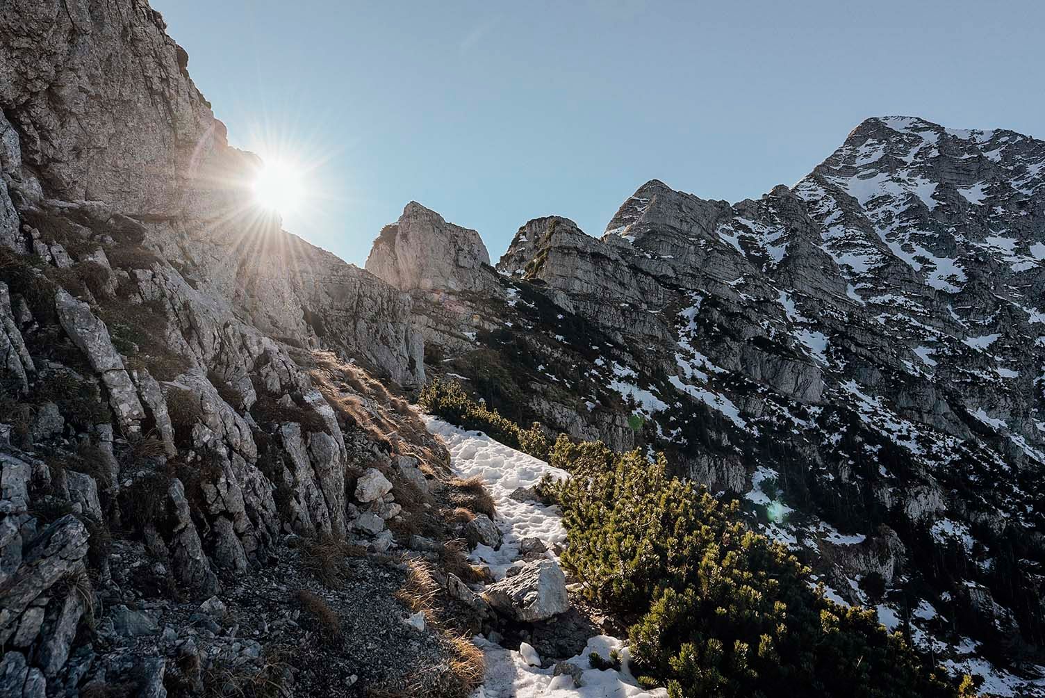
A dispersed parish with villages such as Anyós, Arinsal, Pal and Sispony. It includes Andorra’s highest peak (Comapedrosa, 2,942 m) and access to Pal-Arinsal.
📍 Andorra la Vella – AD500
- Area: 31 km²
- Population: 23,324
- Altitude: 1,022 m
The most populated parish and the country’s capital. It hosts the Consell General, Casa de la Vall, the Government building and Meritxell Avenue.
📍 Sant Julià de Lòria – AD600
- Area: 61 km²
- Population: 9,694–10,000
- Altitude: 908 m
The southernmost parish, bordering Spain. Includes Juberri, Nagol and Fontaneda, as well as the Sanctuary of Canòlich and Naturland park.
📍 Escaldes-Engordany – AD700
- Area: 30 km²
- Population: 14,917–17,000
- Altitude: 1,050 m
Created in 1978. Known for Caldea, Vivand and a dynamic commercial and residential environment.
❗ The Terreny de Concòrdia
A 15.6 km² area between Encamp and Canillo, historically subject to boundary discussions. Today, it is mainly used for winter activities and partially integrated into Grandvalira. Its highest point is Tosa d’Encampadana (2,476 m).
Why the parish model matters
Parishes are more than territorial divisions: they are a historical and institutional pillar of Andorra. The Government + Comú model balances proximity, autonomy and territorial cohesion.
Comuns can:
- propose legislation to the Consell General
- manage local and property-related taxes
- administer essential services and infrastructure
- drive cultural and economic development
➤ For a deeper understanding of administrative and tax residency differences, see Types of residency in Andorra: active, passive and tax residency.
➤ To understand how geography shapes daily life, consult Living and working in Andorra: what to know before relocating.
Conclusion
Parishes are not merely a territorial division—they form the backbone of Andorra’s local self-government. Understanding them helps residents, entrepreneurs and investors gain perspective on the institutional landscape in which they will operate.
If you would like to understand how this territorial structure may affect your personal, professional or business situation, you can request a personalised meeting below or fill in the contact form.
Last updated: November 2025.

Technical Author: Albert Contel